Israel extends apology for showing J&K part of Pakistan, Northeast of Nepal


PTC News Desk: A day after Israel Defence Forces released a map inaccurately depicting Jammu and Kashmir as part of Pakistan and Northeast as part of Nepal, the military issued an apology clarifying that the map was not intended to represent precise national borders.
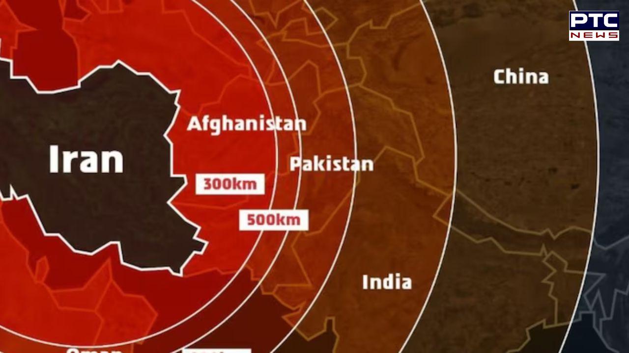
The IDF admitted the map "fails to precisely depict borders" but claimed it was only an "illustration of the region".
The apology followed a massive outrage in India over the wrong map, released amid the escalating military conflict between Israel and Iran.
Now you understand why India remains neutral. In diplomacy, no one's really your friend. — Indian Right Wing Community (@indianrightwing) June 13, 2025
So far the Indian government has not responded to the wrong depiction of Indian borders.
India is among the biggest buyers of Israeli military equipment.
Given this strong defense relationship, the appearance of an incorrect map of India's borders came as an unexpected development. The controversial map was shared on X late Friday evening in a post highlighting Tel Aviv’s view of Iran as a “global threat.”
This incident comes amid rapidly escalating tensions between Israel and Iran, further fueling fears of a broader conflict in West Asia, especially after the intensification of hostilities following Israel’s response to Hamas’ October 7 attacks.
- PTC NEWS