ISRO releases first image taken by Cartosat-2 series satellite





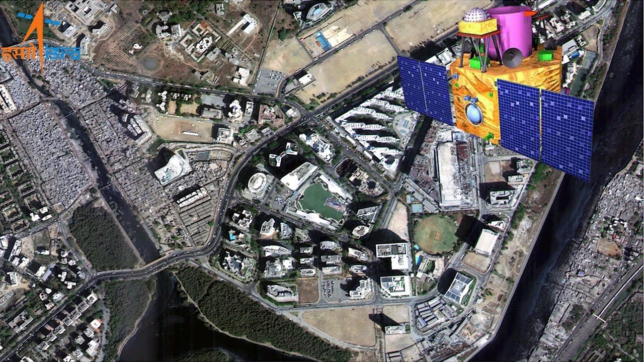
 ISRO releases first image taken by Cartosat-2 series satellite[/caption]
The satellite was successfully placed in orbit after it was launched onboard the PSLV-C40 rocket on January 12.
It is an advanced remote sensing satellite similar in configuration to earlier six spacecraft in the series and intended to augment data services to the users.
The images sent by the satellite will be useful for cartographic, urban and rural applications, coastal land use and regulation besides Geographical Information System applications, among others.
Thirty other satellites, including 28 from foreign countries, were also successfully launched along with the Cartosat-2 series satellite. PTI
ISRO releases first image taken by Cartosat-2 series satellite[/caption]
The satellite was successfully placed in orbit after it was launched onboard the PSLV-C40 rocket on January 12.
It is an advanced remote sensing satellite similar in configuration to earlier six spacecraft in the series and intended to augment data services to the users.
The images sent by the satellite will be useful for cartographic, urban and rural applications, coastal land use and regulation besides Geographical Information System applications, among others.
Thirty other satellites, including 28 from foreign countries, were also successfully launched along with the Cartosat-2 series satellite. PTI