Chandigarh Tricity finally sees rain, strong winds after two missed red alerts





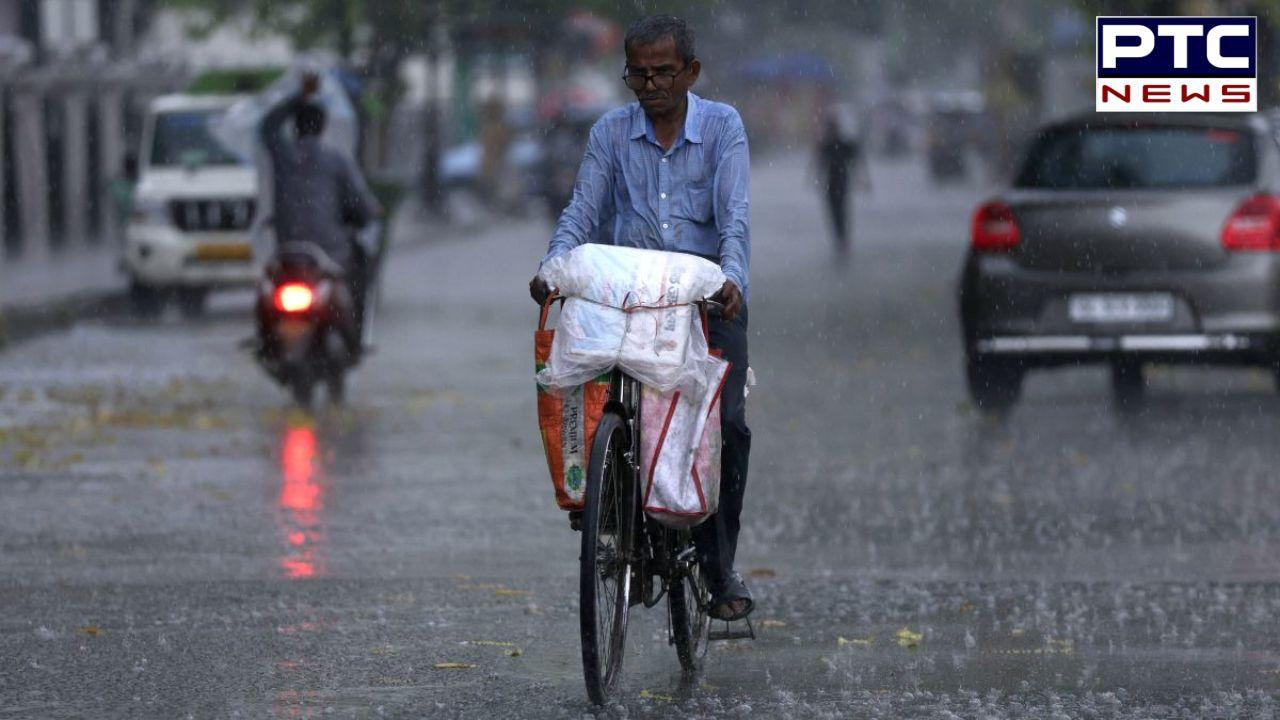
Chandigarh weather: After two days of weather warnings that brought little change on the ground, rain and strong winds finally swept across the Chandigarh Tricity on Saturday morning, bringing much-needed relief from the intense heatwave that had gripped the region for nearly a week.
Dark clouds covered the sky around 7:30 am, followed by cool winds and light to moderate rainfall beginning around 8 am across Chandigarh, Mohali and Panchkula. The sudden change in weather gave residents a break from the scorching temperatures that had continued since Monday.
The India Meteorological Department (IMD) once again issued a red alert on Saturday morning, warning of thunderstorms, rain, hail and strong winds ranging between 50 and 80 kmph in the Tricity and nearby areas. People were advised to remain indoors and avoid standing under trees or near weak structures.
Interestingly, despite red alert warnings for both Thursday and Friday, no major storm activity affected Friday’s IPL Qualifier 2 match at the PCA International Cricket Stadium in New Chandigarh. The game between Gujarat Titans and Rajasthan Royals concluded smoothly, with Gujarat securing a place in the IPL final in Ahmedabad.
However, Saturday morning painted a completely different picture. The sky remained heavily overcast and weather conditions quickly turned active as strong winds and showers moved into the region.
According to the IMD nowcast issued around 7:32 am, Doppler radar images from Patiala showed intense thunderstorm activity moving towards Chandigarh, Mohali and surrounding districts. The department warned that severe thunderstorms with lightning and hail were likely within the next few hours.
The warning covered several districts of Punjab, including Mohali, Kharar, Rupnagar, Jalandhar, Hoshiarpur, Gurdaspur and Pathankot, where strong winds between 60 and 80 kmph along with hailstorms were expected. Moderate thunderstorm activity was also predicted in areas such as Rajpura, Dera Bassi, Ludhiana and Amritsar.
Weather conditions had already started changing on Friday night as temperatures dropped noticeably across Punjab and Haryana. Chandigarh recorded a minimum temperature of 23 degrees Celsius, which was below normal for this time of the season. Mohali also saw cooler conditions, while Gurugram witnessed a sharp fall in night temperature.
Rainfall activity was stronger in several Haryana districts during the night and early morning hours. Charkhi Dadri recorded the highest rainfall at 24.5 mm, followed by Karnal and Mahendragarh. Punjab, however, saw limited rainfall till Saturday morning, with Bathinda recording only light showers.
The IMD has placed the region under an orange alert for Saturday, forecasting widespread rainfall, thunderstorms and gusty winds. Officials have warned people to stay cautious due to the possibility of lightning and hailstorms.
The weather department expects only isolated rain activity on Sunday, after which dry weather conditions are likely to return from Monday onward. With temperatures expected to rise again next week, another spell of heat could soon follow.
The IMD has advised residents to stay indoors during thunderstorm activity, avoid water bodies and weak structures, and park vehicles safely during strong winds
- PTC NEWS