India weather alert: Monsoon begins retreat from Northwest India as Bay of Bengal system threatens heavy rain





PTC Web Desk: India is seeing two very different weather patterns at the same time. The southwest monsoon is beginning to withdraw from parts of northwest India, bringing the prospect of drier and warmer days, while a developing weather system over the Bay of Bengal is keeping several states on alert for heavy rain, thunderstorms and strong winds.
Weather conditions are becoming favourable for the monsoon to retreat from parts of Rajasthan, Punjab and Saurashtra-Kutch over the next two to three days. The change is expected to gradually bring drier weather to northern areas, including Delhi-NCR.
The withdrawal could also mean a rise in daytime temperatures across the region.
Temperature rises as monsoon begins retreat
The impact of the changing weather pattern is already visible in some parts of the country. Jaisalmer in Rajasthan recorded 40.3 degrees Celsius, the highest maximum temperature reported in the country.
Several locations in Jammu and Kashmir, Ladakh and north interior Karnataka also recorded temperatures more than five degrees above normal.
Delhi is also expected to remain mostly dry in the coming days. The capital may see partly cloudy skies, but significant rainfall is unlikely. The maximum temperature is expected to remain around 36 degrees Celsius, while the minimum could be close to 26 degrees Celsius.
Bay of Bengal system likely to intensify
While northwest India turns progressively drier, the weather remains active across eastern and southern parts of the country. A low-pressure area over the central Bay of Bengal has strengthened and is moving west-northwestwards. The system was located over the east-central and adjoining west-central Bay of Bengal at 5:30 am on September 21.
Its associated cyclonic circulation extends up to around 7.6 km above sea level.
The system could intensify into a depression over the west-central Bay of Bengal within 24 hours and may strengthen further over the following 24 hours.
According to the weather outlook, the system is likely to move towards the west-northwest and could reach near the north Andhra Pradesh-south Odisha coast by the morning of September 23.
Heavy rain warning for several states
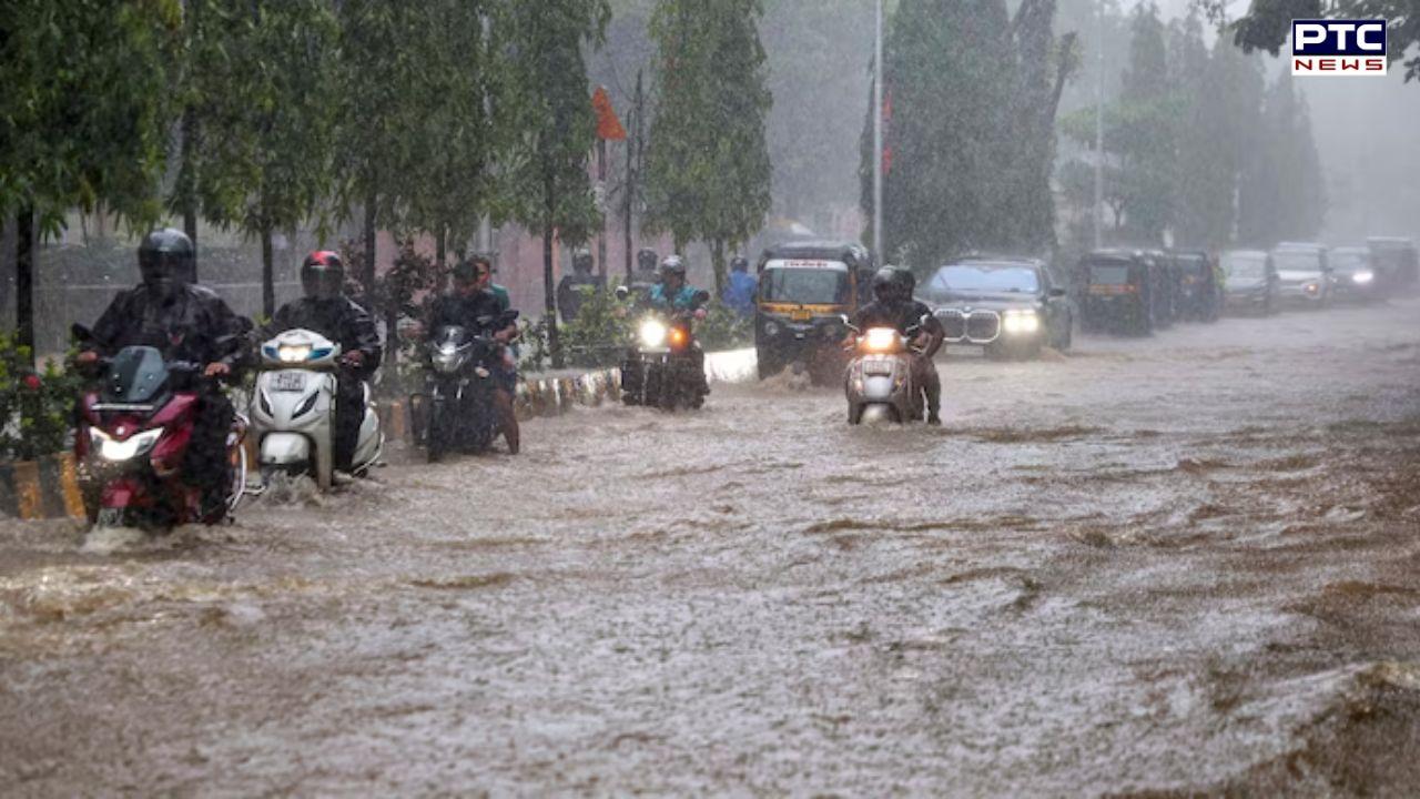
Several parts of the country could receive heavy rainfall on September 21. The areas likely to be affected include Andaman and Nicobar Islands, Chhattisgarh, Coastal Andhra Pradesh, Karnataka, Tamil Nadu, Puducherry and Karaikal and Telangana. Rainfall in some locations could range between 64.5 mm and 115.5 mm.
Thunderstorms with strong winds are also possible over Odisha, Jharkhand, Rayalaseema, coastal and south interior Karnataka, Tamil Nadu and Telangana. Wind speeds could reach 40-50 kmph in some areas.
Also Read | RN Kao biopic: Karan Johar announces RAW founder film, release date set for 2028 | His role during 1971 war
Weather conditions may also turn stormy in parts of coastal Andhra Pradesh, Gangetic West Bengal and north interior Karnataka, where lightning and squally weather are possible.
Thunderstorms accompanied by rain may occur over Assam and Meghalaya, eastern Rajasthan, Gujarat, Kerala, Konkan and Goa, Madhya Pradesh and Maharashtra.
Marine conditions remain rough
The developing system has also prompted concerns over sea conditions. Winds over parts of the Bay of Bengal could reach 45-55 kmph, occasionally touching 65 kmph. Similar rough conditions are possible over parts of the Arabian Sea, including waters near the Somali coast. Rough seas are also expected around the Andaman Sea, southern Myanmar coast and the Gulf of Mannar.
Fishermen have been advised to stay away from vulnerable marine areas and follow official weather warnings.
Advisory for farmers and residents
Farmers in areas expecting rain have been advised to ensure proper drainage and protect harvested crops and farm equipment. Fieldwork should be avoided during thunderstorms and lightning, while fertilisers and pesticides should not be applied during rainfall.
For residents, the changing weather means different precautions in different parts of the country. People in hotter areas should stay hydrated, while those in storm-affected regions should remain indoors during lightning and thunderstorms.
People should avoid open fields, isolated trees and other exposed locations during lightning activity.
With the monsoon now beginning its withdrawal from parts of northwest India, drier and warmer weather is likely to return to the region, even as the strengthening Bay of Bengal system brings the possibility of heavy rain and strong winds across parts of eastern and southern India.
- With inputs from agencies