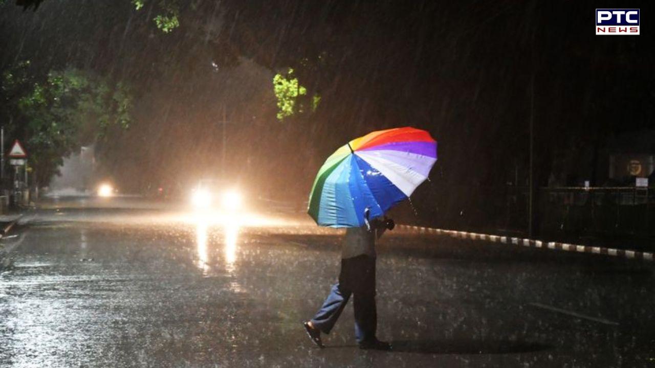
Heavy rain, thunderstorm expected in Punjab, Haryana from July 2; temperature to plunge


PTC News Desk: A fresh western disturbance is expected to affect north-west India from July 2, bringing heavy rainfall and cooler temperatures later this week. According to the India Meteorological Department (IMD), this weather system is likely to provide relief from the above-normal temperatures and isolated heatwave conditions currently affecting parts of Punjab and Haryana.
The IMD has forecast fairly widespread to widespread rainfall across Punjab, Haryana, Chandigarh and Delhi between July 2 and July 4. Before that, isolated to scattered rain is expected from June 29 to July 1, with similar conditions likely again on July 5.
Although some areas in Punjab and Haryana received light rain, thunderstorms and strong winds over the last 24 hours, both daytime and nighttime temperatures remained above normal. Rainfall was recorded in Haryana's Kaithal, Rohtak, Jhajjar, Mahendergarh, Rewari and Nuh districts, as well as Punjab's Pathankot, Gurdaspur and Ropar districts. Heatwave and warm-night conditions were also reported at a few places in both states.
The weather department has predicted rain at some locations in northern and eastern Punjab and northern Haryana on June 29. However, it has also warned that isolated heatwave conditions may continue on June 29 and 30.
Despite occasional pre-monsoon showers, both states have received significantly less rainfall than usual this June. Punjab's rainfall is 41% below normal, while Haryana has recorded a 40% deficit. The IMD has described monsoon activity in the two states as "weak."
The IMD has also forecast fairly widespread to widespread rainfall accompanied by thunderstorms, lightning and gusty winds of up to 60 kmph in Jammu and Kashmir, Ladakh, Himachal Pradesh and Uttarakhand on different days until July 5. In addition, isolated hailstorms may occur in Jammu and Kashmir and Ladakh on June 30.
- With inputs from agencies