Cold wave grips India as November temperatures plunge; Delhi records earliest single-digit low in 11 years


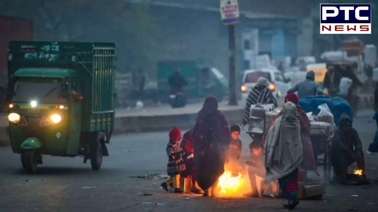
PTC Web Desk: A sharp dip in temperatures has ushered in an unusually harsh start to November, with large parts of the country experiencing conditions more typical of peak winter. According to the India Meteorological Department (IMD), minimum temperatures have remained below normal on nearly all days this month.
Across several regions, night temperatures were recorded 2°C to 6°C lower than normal, and the IMD expects minimum temperatures to stay between “below normal” and “normal” over the next five days.
Delhi continues to reel under an abnormally cold spell even as air quality remains in the “very poor” category. The national capital has reported minimum temperatures below 10°C since November 15, marking its earliest single-digit November reading in 11 years.
On Monday, the city recorded a minimum of 8.7°C, which was 3.6 degrees below normal and the lowest November temperature in three years. Most neighbourhoods reported night temperatures between 9°C and 11°C, with daytime highs settling between 24°C and 26°C. Despite a slight 1°C rise in the past 24 hours, temperatures continue to remain “appreciably below normal.”
The IMD expects shallow to moderate fog on Wednesday. From November 20 to 24, mainly clear skies with morning fog are forecast. Private weather agency Skymet has predicted further cooling once the city receives rainfall in the coming days.
The sudden cold spell has expanded to western and central India. Mumbai recorded an unusually cold morning on Tuesday as the Santacruz observatory logged 17.4°C, nearly 3.8°C below normal and lower than Monday’s 17.8°C.
Cold wave to severe cold wave conditions were reported in pockets of central Maharashtra and western Madhya Pradesh, with isolated areas expected to continue experiencing similar conditions until Wednesday.
Minimum temperatures were five notches below normal across Konkan and Goa, central Maharashtra, western Madhya Pradesh, and isolated parts of Saurashtra & Kutch, Vidarbha, Telangana, Jharkhand, Chhattisgarh and Odisha.
The IMD predicts a temporary warm-up, with minimum temperatures likely to rise by 2°C to 3°C over northwest and east India in the next four days before stabilising.
In the eastern states, shallow to moderate fog is expected across all districts of West Bengal from today until November 21. While visibility may drop, nights will turn slightly warmer, with dry weather set to prevail through the week.
The southern region is gearing up for more rainfall. The IMD has forecast heavy showers over Tamil Nadu until November 24 and over the Andaman and Nicobar Islands until Saturday.
Thunderstorms accompanied by lightning are also expected over Tamil Nadu, Kerala, Mahe, coastal Andhra Pradesh and Rayalaseema for the rest of the week.
- With inputs from agencies