Why Ladakh, Kashmir warmer while plains shrouded in fog? Explained


PTC Web Desk: The western Himalayan region, comprising Ladakh and Kashmir, is experiencing an unusual warmth during the peak winter months of December and January. This departure from the typical winter conditions has been attributed to an 80% precipitation deficit in December, coupled with a dry January so far. The India Meteorological Department (IMD) highlights the absence of active western disturbances, crucial weather systems originating in the Mediterranean region, as the primary cause of this deviation.
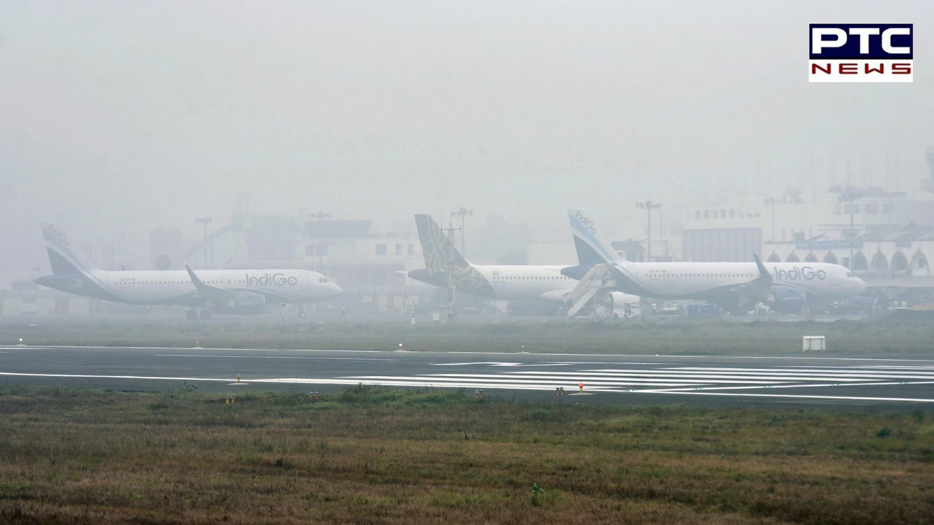
The prevailing lack of active western disturbances has resulted in an unusual layer of fog enveloping the plains since December 25. Typically, these disturbances bring unseasonal rainfall to northwest India. This atmospheric phenomenon has not only led to an 80% precipitation deficit but has also adversely affected visibility, causing a blinding layer of fog over the region. The IMD points out that the deficiency in precipitation is likely to impact freshwater availability, subsequently affecting horticulture and agricultural production in the Himalayan region.
Also Read | Trinamool Congress leader Mahua Moitra vacates government bungalow
Also Read | FASTag KYC: Check out step-by-step guide
Also Read | Strongest currencies: Kuwaiti dinar leads, India at...
Also Read | Coaching centres cannot enroll students below age of 16: Government new rules
Sonam Lotus, head of the meteorological centre in Leh, Ladakh, has expressed concern over the warm weather during what is traditionally the peak of winter. He noted that crops in Ladakh and Kashmir are blooming prematurely, raising worries about the potential impact on agriculture. Raihana Habib Kanth, Dean of Agriculture at Sher-e-Kashmir University, emphasised the importance of snowfall during the Chillai Kalan period (December 21 to January 29) as the primary freshwater source before the onset of the southwest monsoon. The extended dry spell has led to a reduction in water levels in rivers and streams, posing further challenges for the region's water resources.
/ptc-news/media/post_attachments/cqGRQklev2NTyizuCPrH.webp)
According to a report by IMD scientists, maximum temperatures have consistently been below normal by 5-8 degrees Celsius over the northern plains since December 29. Minimum temperatures have also recorded a dip below 4 degrees Celsius at various stations in the region from January 12 to 17. The report highlighted that very dense fog has persisted over the plains of northwest India since December 25, reaching its peak intensity and duration on January 14.
The severe weather conditions in the northern plains are primarily attributed to the absence of active western disturbances over northwest India during December and January. Normally, 5-7 such disturbances impact the region during these months, but this winter has seen none of significant strength. The report underlines that two western disturbances affected the country, one in December and another in January, but their impact remained localised to Gujarat, north Maharashtra, east Rajasthan, and Madhya Pradesh.
IMD scientists pointed out that three main factors contribute to the prevailing weather conditions: the lack of active western disturbances, prevailing El-Nino conditions, and a strong jet stream. El-Nino conditions, characterised by abnormal warming of surface waters in the central Pacific Ocean, tend to result in fewer cold wave days over north India during December and January.
/ptc-news/media/post_banners/856643fe4ddd912226b89f1c0bfbcdc30aa1f1c0e3f7eb91b2edef188dfb9246.webp)
The formation of dense fog, a notable aspect of the current weather scenario, is explained by scientist Naresh Kumar. He stated that fog formation requires weak low-level winds, moisture, and overnight cooling. Strong western disturbances, characterised by strong winds and precipitation, disrupt these conditions. Additionally, the presence of a strong jet stream over north India for the past five days is leading to the subsidence of cold air, enhancing cold wave and cold day conditions in the region. These weather conditions are anticipated to persist over the next five days.
The unexpected warmth in Ladakh and Kashmir during peak winter, coupled with a deficit in precipitation and the persistence of dense fog, raises concerns about the potential impact on agriculture and freshwater resources in the region. The scientific analysis provided by IMD researchers underscores the role of the absence of active western disturbances, prevailing El-Nino conditions, and a strong jet stream in shaping the current weather patterns. As these conditions persist, their ramifications on the Himalayan region's climate and agriculture remain a subject of close monitoring and concern.
— With inputs from report published in NDTV
-